


Site
Menu
and
technical data
videos, documents
dialogue


Full Article May Be Viewed Here
REFERENCE DOCUMENTS
Geodata Australia (GA) has been active in preparing technical papers and various documentation to outline survey and cadastral database workflows and implementation strategies. Other Reference Documents include Published Articles and Power Point Presentations given at conferences across Australia, Asia and various venues worldwide which outline aspects of the implemented technology and GA experiences.
Select from the active links below to access any document.
STRATEGY DOCUMENTS
PUBLISHED ARTICLES
CONFERENCE PRESENTATIONS
-
The Business Outcomes of Survey Precision in GIS Cadastres for Efficiencies in Connecting Government Land Administration - Map Asia – 2010
_______________________________________________________
For online access to further documents, published papers, articles and conference presentations, including global events, etc, click on the link below :
"Ian Harper cadastral database surveyor"
ADDITIONAL PRESENTATIONS AND DOCUMENTS
ARE AVIALABLE UPON REQUEST
VIEW OUR VIDEO LIBRARY BELOW
VIDEO LIBRARY
(Best Viewed in Full Screen)


Geodata - OriginaL Developers of Survey-Accurate Digital Cadastral Technology

Land Surveying Issues

GeoCadastre and GeoSurvey Software

Drone Surveying

Relevance of GeoCadastre in Esri's Database

3D Mapping project by Singapore Land Authority wins Geospatial Excellence Award
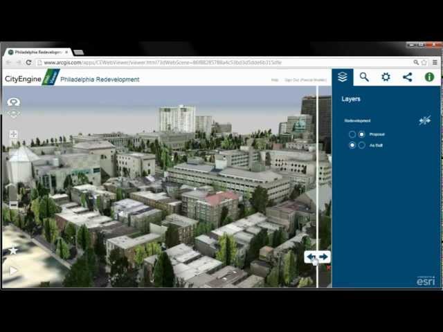
Esri CityEngine Highlights

Landsat With Google Earth Engine
