


Site
Menu
Projects Of Interest
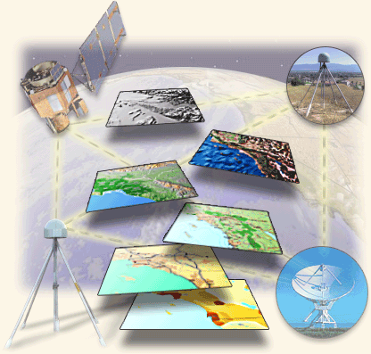
SURVEYING IN ACTION
This section links to Items that may be from within or outside Geodata Australia, but which relate to either our survey database domain, or are client/technology-related.
Interesting reading is ESRI's announcement - published HERE - that the United States' Bureau of Land Management, (BLM), has adopted the Parcel Fabric, (the software engine of which is our product "GeoCadastre"®), to maintain its Public Land Survey System (PLSS) dataset.
To view these projects click on the active title links below:

The Sydney Opera House - Presentation on the survey work by Michael Elfick in the construction of the Sydney Opera House roof, 1966.
Engineers erecting the roof shells initially took approximately four weeks to determine the accurate position for each module. A quicker method of calculation was required to meet progress deadlines. Michael, the Senior Surveyor, developed a special program to enable the positioning to be checked by a computer. Pins were inserted into the precast concrete modules at strategic points read by a theodolite, then these readings were run on the only computer in Sydney at the time, using the program developed by Michael. In this way precise positions were established quickly and accurately.
“Calculations were done using 3D vector algebra. The brand of the computer was a GE225, which was set up as a commercial bureau in a shop front in George Street. It was rented out by the hour. Computer runs were done as required with a one hour turn around. A taxi waited on the construction site at the foot of the opera house shells and as soon as the observations were complete, the field notes were put into the taxi. It took them to the computer bureau where they punched and verified a card deck directly from the field notes. The computer program was on another card deck. This was then run in the computer, followed by the data card deck and the results were then output to a printer. Another taxi returned with the results. So we had ‘field to finish’ in the early 1960's.” - Michael Elfick

1658
The Original Cape Farms of The 1660’s – FIG 2010, Sydney - Presentation by Jennifer Whittal and Susan Jones on utilisation of the Parcel Fabric to trace the location of original European farmland settlements near Cape Town, South Africa.
"The Dutch colonial intention was not to colonise the Cape, but to merely create a supply post for trading ships. The Commander, Van Riebeeck, had strict instructions not to enslave the native KhoiKhoi. Crew members and soldiers began to settle permanently on the land, with no recompense for the KhoiKhoi, so inevitably relations soured. To protect farmlands from the KhoiKhoi cattle grazing it, van Riebeeck planted dense thickets of a bitter almond shrub as a boundary hedge along the Liesbeeck River. The remains of this hedge still grow today in Kirstenbosch, the national botanical gardens. The European advantage of firepower, together with the introduction of hard liquor, reduced the KhoiKhoi to no more than a nuisance." - Courtesy of Frommer's Travel
Surveyors Leading in GIS – A presentation by Michael Elfick, "Surveyors In A Database World", 2010, providing a background to computer technology which made GIS possible and opened the way for the development of Parcel Fabric utilising GeoCadastre®.
"Future GIS systems will have fabrics built and managed from real data rather than being pictorial representations from derived data of dubious quality. Surveyors will have to adapt and lead in the use of GIS technology if they are to survive as a profession." - Michael Elfick

Shaping The Cadastral Infrastructure For a Digital Future – FIG 2014 - A presentation by Northern Territory (NT) Surveyor General, Craig Sandy, providing a comprehensive overview of how improved rigour and accuracy of the DCDB provides powerful spatial infrastructure, generating technical and legal certainty for all stakeholders. Craig outlines the NT's National Cadastral Database (NCDB) Project, utilising GeoCadastre® discussing the vision, the challenges and benefits that a project of this nature delivers. - Craig Sandy

Vietnam Case Study - Creation & Management of a Cadastral Fabric – A presentation by Ian Harper, outlining a Proof of Concept project in Vietnam, 2009.
"Survey control points are required for the adjustment so some of the cadastral corners have been adopted as control. The co-ordinates for those control points may be from the original database co-ordinates of those cadastral corners, which would mean the new fabric would have the same spatial position as the original database." - Ian Harper